
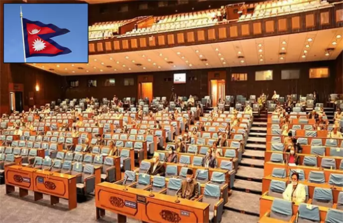

Kathmandu: The Parliament of Nepal unanimously passed the Constitution Amendment Bill for the new map, which also includes parts of India in this map. Lipulekh, Kalapani and Limpiyadhura, located in Uttarakhand, India, are represented as Nepali territory.
On Thursday, the National Assembly, the upper house of the Nepali parliament, passed the Constitution Amendment Bill unanimously. After this the way has been cleared to change the map to the national symbol of Nepal. All 57 members present voted in support of the bill.
Tension in the relations between the two countries came when Defence Minister Rajnath Singh inaugurated a strategically important road connecting Lipulekh Pass to Dharchula in Uttarakhand on 8 May. Nepal reacted strongly to this and a few days later introduced a new political map of the country which shows the Lipulekh, Kalapani and Limpiyadhura regions in its territory.
The Communist government led by KP Sharma Oli on Saturday unanimously passed the new map from the lower house of Parliament. At the same time, India had made it clear in strict terms that the territorial claims presented “artificially exaggerated” are not acceptable. India strongly opposed the move and said it was not acceptable.
