
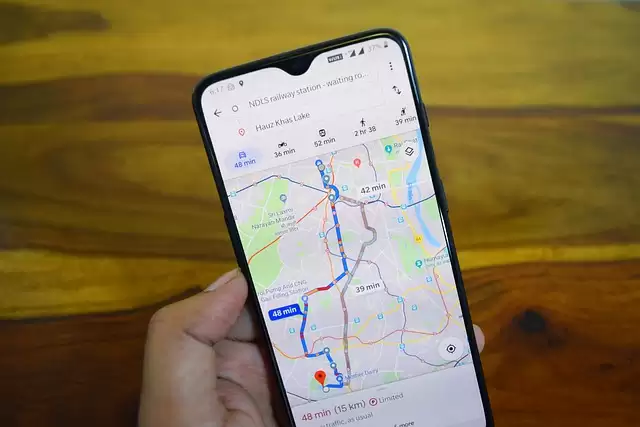

Search engine giant Google is coming up with an interesting Google Maps feature that will reveal Covid-19 case trends in a particular area.
The company is of the opinion that the Covid layer in Maps will support users to take informed decisions about their travel when they leave their homes.
After opening the Google Maps application, one has to click on the layers button that seems on the top right-hand corner.
There one needs to tap on the “Covid-19 info.” Then the layer will provide insights about the seven-day average of new Covid-19 cases per 100,000 people for the area on the Maps.
Amazing, isn’t it? The company has also included colour codes for users to find out the density of cases in a particular area.
The mind-blowing feature will be launched all over the world this week on Android and iOS.
By Sahana Iyer
